

AW3D Enhanced
DSM - DTM, Resolution 0.5 - 2m, Excellent accuracy
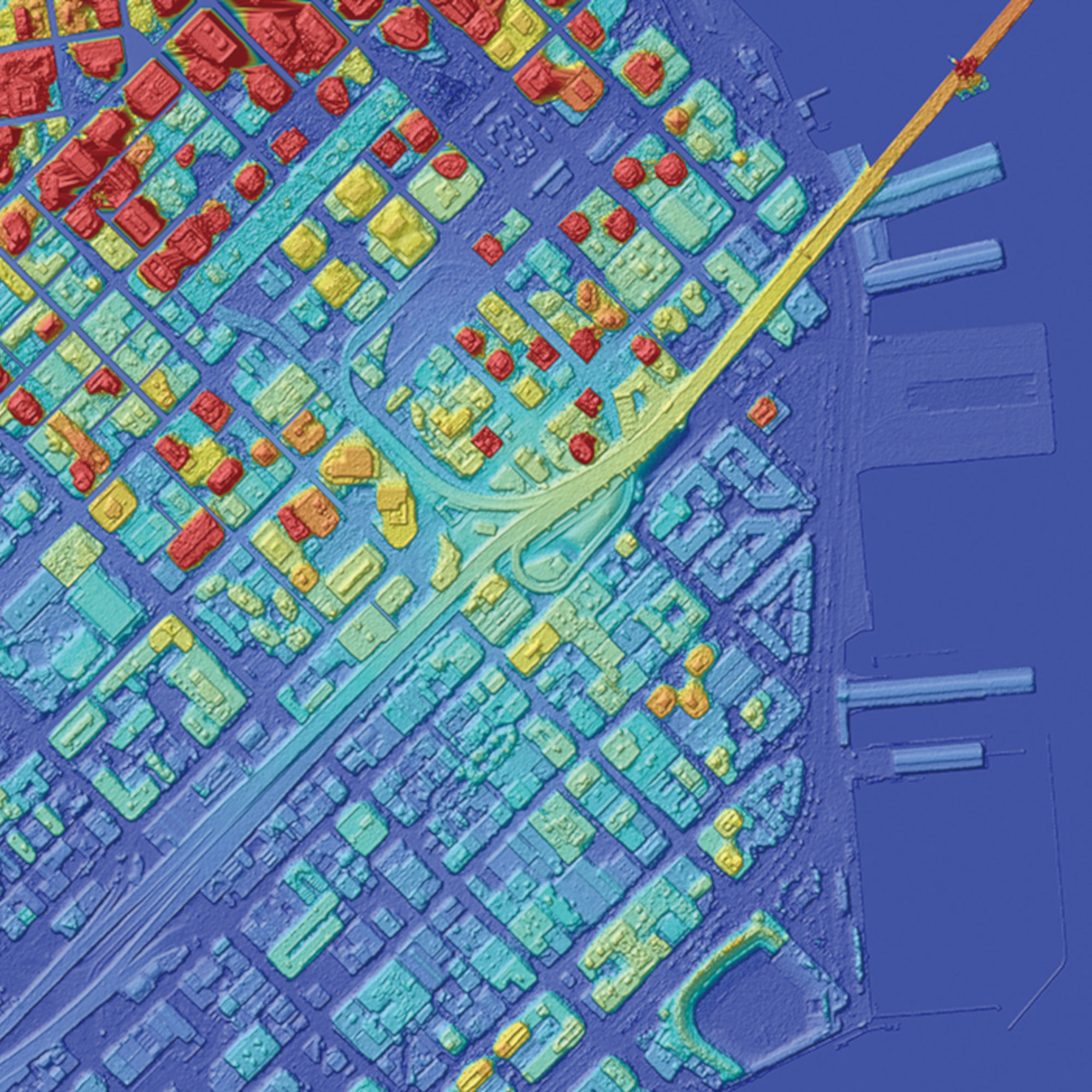
AW3D building product provides information about the footprint of buildings and bridges (viaducts). The footprints and heights of buildings are provided in vector form. This data can be easily used in CAD or GIS software. The texture of the walls of the buildings can also be available. 70 major cities are already covered by AW3D Building products.
Technical Specifications
Spatial Resolution | 0.5m, 1m, 2m |
Geolocation Accuracy | Vertical and Horizontal 2m RMSE / 3m LE90 |